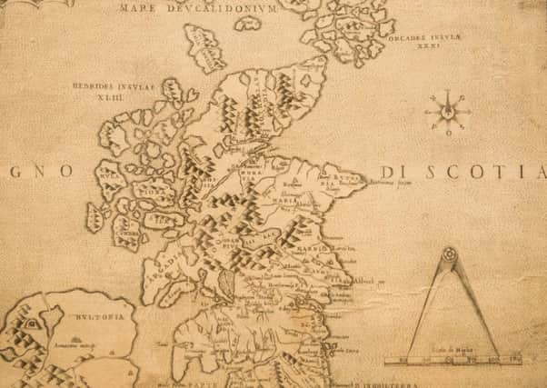
The history of Scotland in 9 maps


This article contains affiliate links. We may earn a small commission on items purchased through this article, but that does not affect our editorial judgement.
From Roman invasions to Jacobite rebellions, Scotland's political and demographic landscape has changed dramatically throughout its rich history.
How has Scotland changed in the last 2000 years? We take a whistlestop tour of the nation’s past through nine maps.
DOWNLOAD THE SCOTSMAN APP ON ITUNES OR GOOGLE PLAY